Every tree accounted for
Sylva is the intelligent platform for afforestation programmes. Map, monitor and manage every plantation, from land NOC approval to carbon estimation, with digital MRV built in.
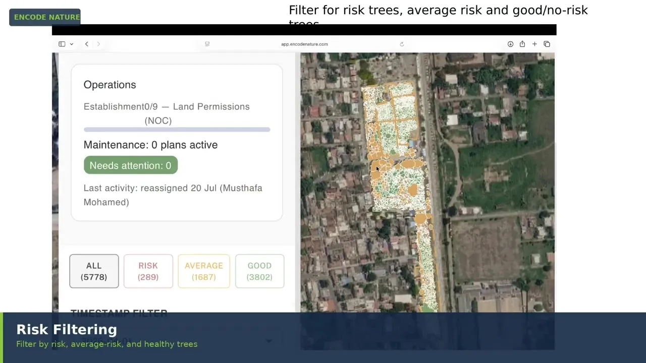
Afforestation is visible. Proving its impact is hard.
Planting is one of the most visible ways organisations act on climate — and one of the hardest things to verify at scale.
- Manual monitoring Unhealthy trees are found by field inspection, often too late to save them.
- No geotagging at scale Tagging every sapling on the ground is slow, costly and rarely complete.
- MRV is still manual Digital MRV is fast becoming the expected standard for carbon reporting and credit verification.
- Stretched teams Environment departments are often understaffed and rely on outsourced partners, with little visibility into their work.
A geotagged address for every tree
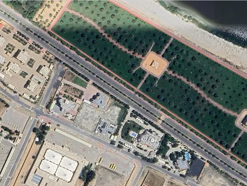
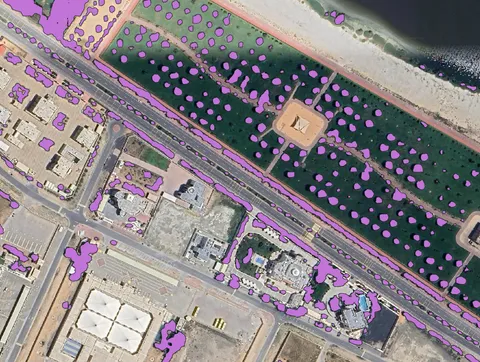
Sylva detects each tree or tree cluster from high-resolution imagery and gives it a location, so your team can go straight to the trees that need attention.
Health and risk, before trees are lost
Sylva assesses plantation health using the light-reflecting properties of leaves linked to photosynthesis. A water-requirement model combines soil moisture (satellite or IoT), rainfall, temperature, soil type and species. Every tree is classed as No risk, Moderate risk or High risk.
Automatic action
When risk rises, Sylva triggers the next step: a ground inspection, an irrigation task or an alert to the responsible manager.
Carbon you can report
Sylva measures each tree’s crown diameter and height, converts crown to trunk diameter with proprietary models, and applies climate-region-specific allometric equations — giving above-ground and below-ground biomass, total carbon and CO₂ equivalent on internationally accepted standards.
Every detected tree, with its own record
Each tree Sylva detects becomes a record your team can open: species, health risk, water requirement, height, crown and carbon, tracked from one survey to the next. Turn the site, select a tree, and step through the year.
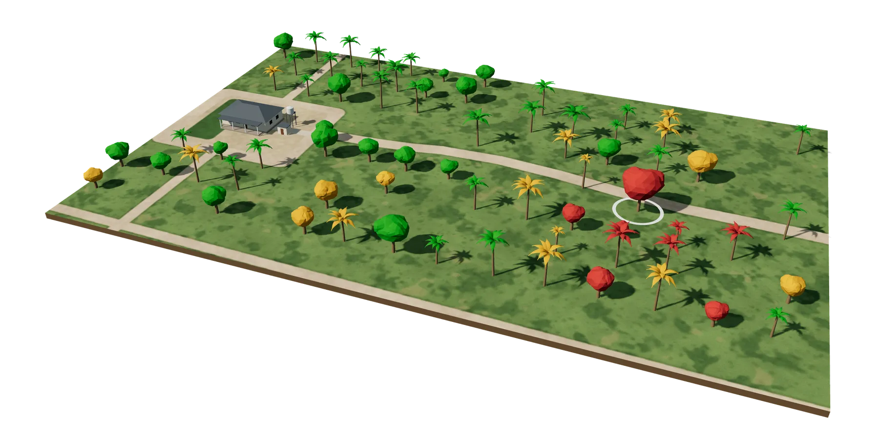
Drag to turn · select a tree
- Trees mapped
- Canopy cover
- m²
- Average height
- m
- Carbon stock
- t CO₂e
- Trees at risk
The programme, not just the imagery
- Land NOC and approval tracking
- Vendor lists and contract classification by project scale
- Budgets, expenditure tracking and activity planning
- Plantation tasks with SLAs, alerts and breach notifications
- Client-specific dashboards and reports
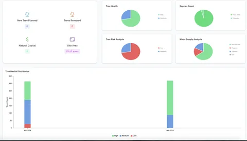
One platform, four kinds of user
| Role | What they get |
|---|---|
| Executives | A bird’s-eye view of all projects, metrics, budgets, task progress and AI-driven project visuals |
| Senior managers and admins | Set up departments, add team members and control who can access what |
| Managers | Run their teams, define plantation tasks, set SLAs, and get alerts on risks and breaches |
| Field executives | A simple mobile app with just the features needed to complete tasks on site |
From CSR programmes to carbon verifiers
- Corporates, industry and mining Run CSR afforestation with digital MRV for statutory and ESG reporting, and oversee outsourced partners from one platform.
- NGOs and implementing agencies Deliver scientific assessments and polished reports to corporate clients without hiring an in-house technical team.
- Municipalities and government programmes Track green-cover targets across cities and states, from planting to survival. In the Gulf, support national greening goals across the UAE and Saudi Arabia with verifiable, tree-level data.
- Carbon consultants and verifiers (VVBs) Use Sylva’s tree-level maps and carbon estimates as a reliable base for assessment and verification.
Show the impact of every tree you plant
See Sylva on one of your plantation sites.