The right site. The right route. From day one.
SiteSense uses AI-classified satellite imagery to find the best sites and corridors for pipelines, power lines, roads and solar plants, before a single survey team goes out.
The most expensive decision in any infrastructure project
Choosing a site or corridor with old maps and repeated field surveys is slow and costly. Routes that cross farmland, settlements or water bodies lead to land disputes, approval delays and redesigns.
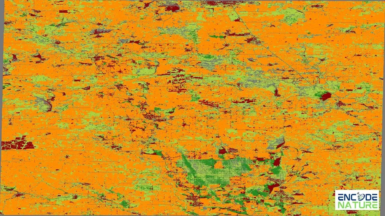
Land use, mapped in detail
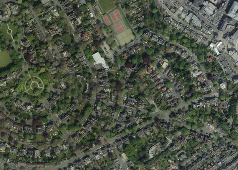
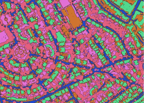
Deep learning models classify very-high-resolution satellite imagery (up to 50 cm) into land-use and land-cover classes, including roads, settlements, agricultural land, barren land, vegetation and water.
Optimal routes, automatically
SiteSense weighs each land class by the cost and difficulty of crossing it, then calculates the best corridor between your start and end points.
Options, side by side
Compare alternative routes and sites to see which land each one crosses and the trade-offs between them.
Suitability for any project
Screen land for solar parks, industrial sites and substations against the criteria that matter to you.
Where SiteSense is used
| Project | How SiteSense helps |
|---|---|
| Pipelines | Plan corridors that avoid settlements, water bodies and sensitive land |
| Power transmission lines | Find routes that reduce land acquisition and right-of-way conflicts |
| Roads and highways | Compare alignments by the land they cross and the ease of construction |
| Solar and industrial sites | Screen large areas for suitable, low-conflict land |
Decide early, with evidence
- Fewer field surveys in early planning
- Less land acquisition conflict and fewer approval delays
- Faster, better-informed decisions on route and site
- A clear, map-based case to share with stakeholders and regulators
- Utilities and transmission companies
- Oil and gas pipeline operators
- Infrastructure developers and EPCs
- Government planning and infrastructure agencies
Planning a corridor or site? Let’s map it together.
We’re working with a small group of early partners. Share your project area and we’ll show you the route options SiteSense finds.