AI-Powered Image Segmentation
Experience our advanced computer vision technology in action
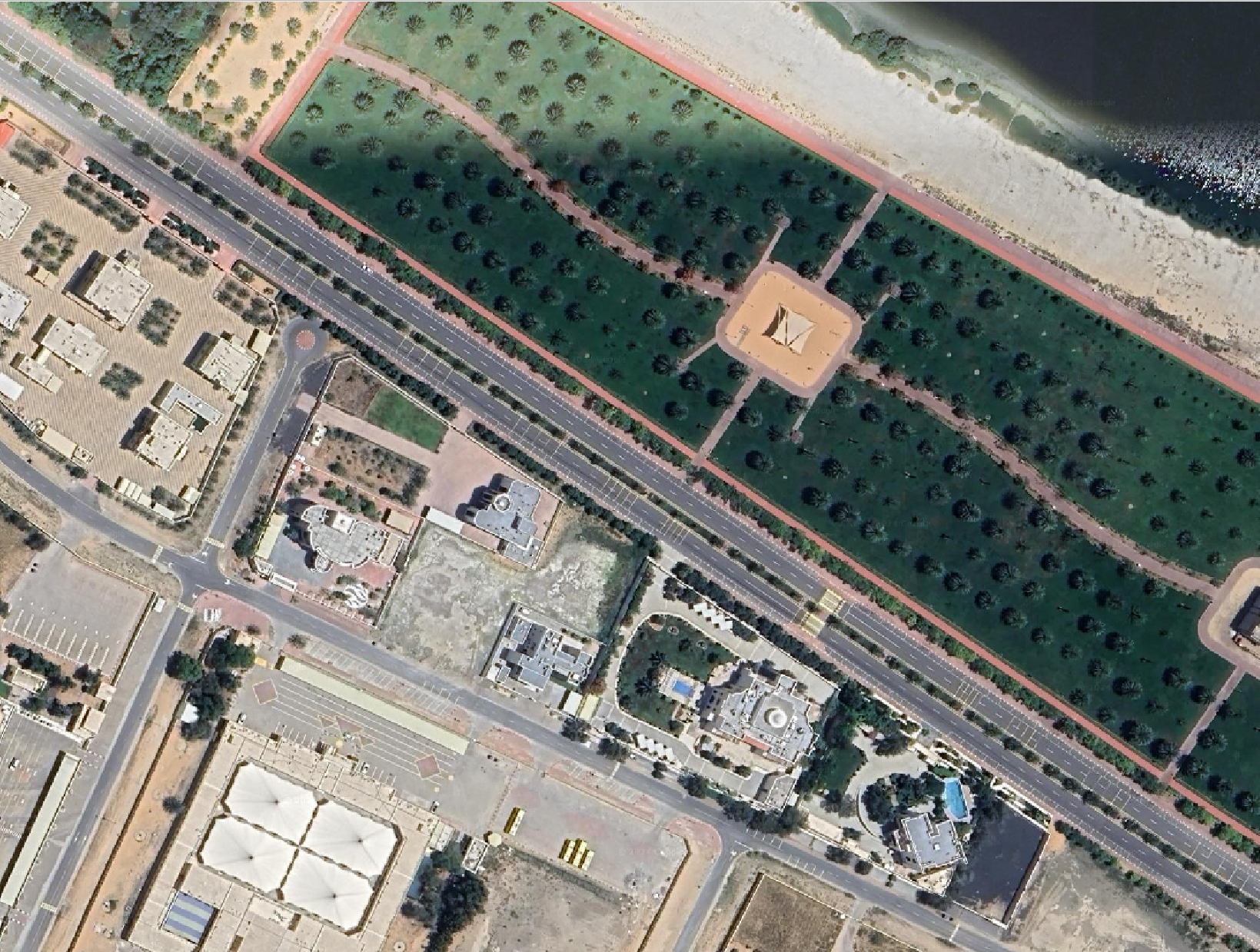
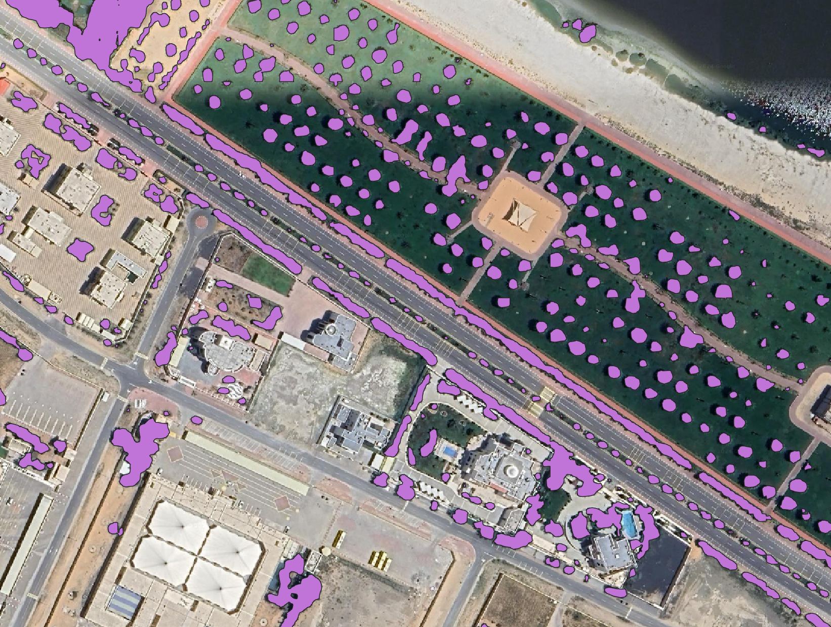
Tree Segmentation
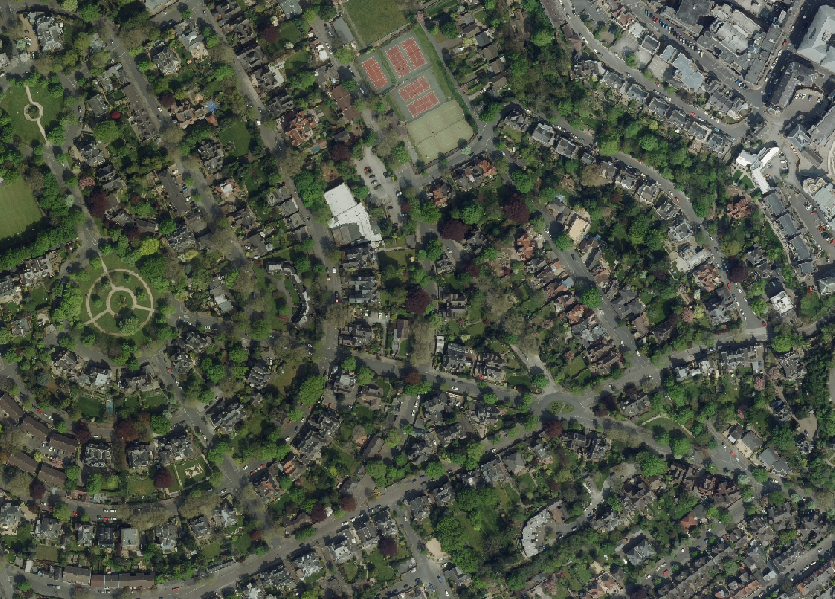
Land Use Land Cover (LULC) Classification

Transform your environmental monitoring with AI-powered insights. Visualize key metrics for plantations, green belts, and ecological habitats through cutting-edge satellite imagery and geospatial analytics.
Experience our advanced computer vision technology in action
Watch how EncodeNataure transforms environmental monitoring with AI-powered insights
Everything you need to monitor and manage your ecological assets
Intuitive, custom dashboards to visualize your biological assets under a single view with real-time risk assessment.
Get the latest insights with real-time data refreshes. Stay on top of changes as they happen.
Generate reports on entire cities or countries utilizing satellite imagery and cloud computing.
Increase asset lifespan through routine maintenance with geospatial task management features.
Save time with automated, scheduled reports delivered straight to your dashboard.
Visualize locations and statuses with intuitive mapping tools and actionable insights.
Streamline operations with comprehensive project management tools
Track tasks by status—Open, In Progress, or Done—with intuitive visuals for progress monitoring.
Monitor financial performance with real-time data on spend, budget allocation, and forecasted expenses.
Evaluate contractors with metrics like turnaround time, completion rate, and responsiveness.
Trusted by leading organizations across multiple sectors
Manage green belts and environmental compliance with precision monitoring.
Monitor pipeline corridors and vegetation management for safety compliance.
Utilize DSM analytics to optimize dam placement and water resource management.
Accurate carbon footprint assessment for industrial sustainability goals.
Monitor water quality and vegetation for effective lake maintenance strategies.
Comprehensive ecological monitoring and reporting solutions.
Join leading organizations using our AI-powered platform for sustainable growth